


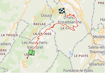
le crey

fab4u
Gebruiker

Lengte
12,7 km

Max. hoogte
1256 m

Positief hoogteverschil
111 m
Km-Effort
16,5 km

Min. hoogte
454 m

Negatief hoogteverschil
807 m
Boucle
Neen
Datum van aanmaak :
2022-02-04 16:48:56.806
Laatste wijziging :
2022-02-05 08:10:09.337
5h37
Moeilijkheid : Moeilijk

Gratisgps-wandelapplicatie
 SityTrail
IGN / Geografische instituten
SityTrail Plus
De wereld gaat voor u open
Over ons
Tocht Stappen van 12,7 km beschikbaar op Auvergne-Rhône-Alpes, Savoie, Les Avanchers-Valmorel. Deze tocht wordt voorgesteld door fab4u.
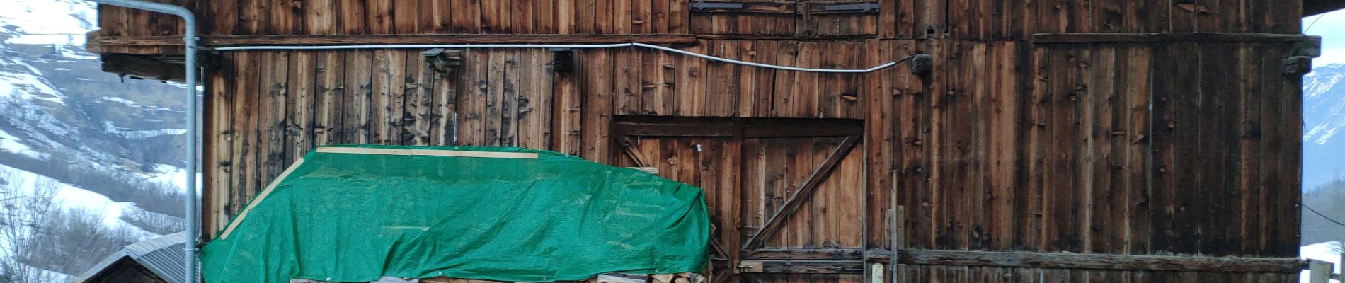
Foto's


Plaatsbepaling
Land:
France
Regio :
Auvergne-Rhône-Alpes
Departement/Provincie :
Savoie
Gemeente :
Les Avanchers-Valmorel
Locatie:
Unknown
Vertrek:(Dec)
Vertrek:(UTM)
300483 ; 5037940 (32T) N.
Opmerkingen